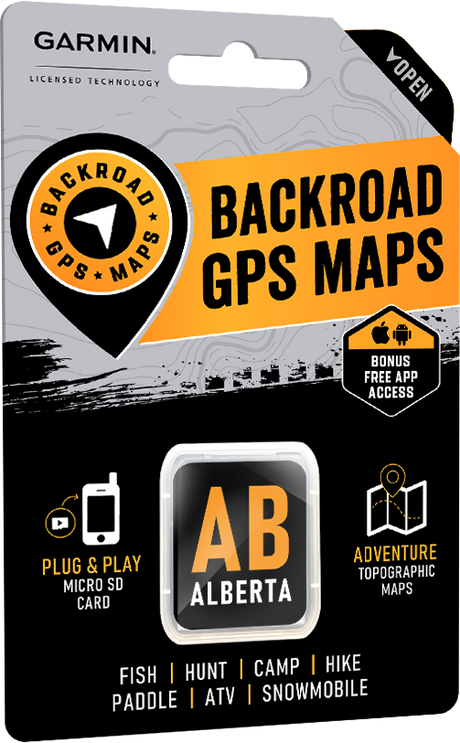
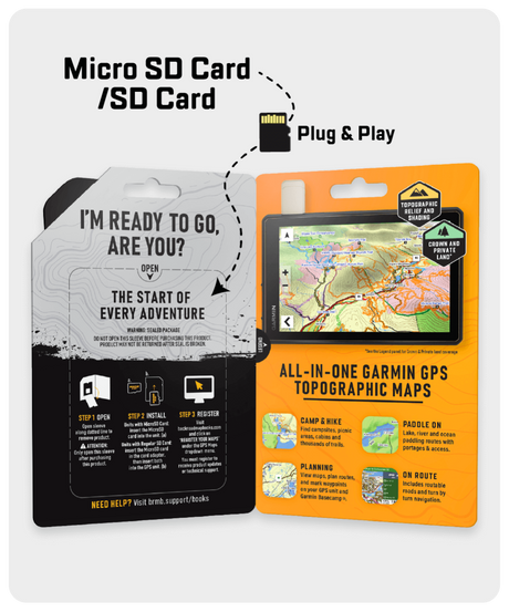
Our Backroad GPS Maps bring over 30 years of backcountry mapping to life with the most detailed and comprehensive coverage of Canada available to recreational users.
Packed with the most up-to-date outdoor recreation information including topographic contours and summits, routable industry and forest service roads, campsites, multi-use and motorized trails, crown and private land areas and much more, these maps put our Backroad Mapbooks series right in the palm of your hand.
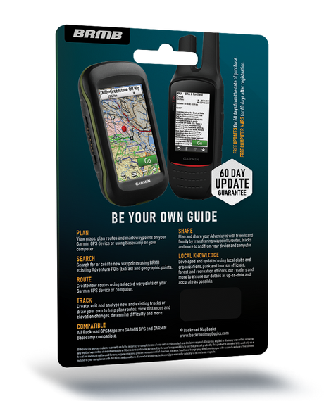
Featuring handy tools like trip tracking and sharing and droppable waypoints, these Garmin GPS and Garmin Basecamp compatible maps are your guide to the best of the backcountry.
Check if your Garmin GPS unit or smartwatch is compatible here.


 Version 2025
 From $9995Unit price /Unavailable