Located in the heart of Ontario’s Cottage Country, Algonquin Provincial Park is one of Canada’s largest and most iconic provincial parks. Known for its dense forests, crystal clear lakes, and unforgettable wildlife encounters, Algonquin attracts canoe trippers, backpackers, anglers, campers, and hikers from across North America.
Spanning more than 7,600 square kilometres (2,900 sq mi) of protected wilderness, the park offers a lifetime of exploration. From quiet backcountry lakes to the activity-rich Highway 60 corridor, adventure exists here in every direction.
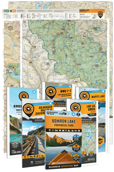
To help visitors navigate this vast landscape with confidence, Backroad Maps has released a fully updated Algonquin Park Waterproof Rec Map, created in partnership with Algonquin Outfitters. As the only outfitter operating within the park, their team brings unparalleled local expertise, helping ensure this map reflects the real needs of paddlers, hikers, anglers, and backcountry travellers.
Featuring the entire park on one side and an expanded close-up of the Highway 60 corridor on the other, this next-generation map puts essential navigation, trip planning, and recreational data directly in your pocket.
Why This Is the Map of Choice for Algonquin Visitors
Dual-Sided Coverage for Complete Park Navigation
This updated edition showcases all of Algonquin Park, from Kiosk to Achray and from the East Gate to the West Gate and beyond. Flip the map over to access a highly detailed view of the Highway 60 corridor, the park’s primary recreational hub known for its hiking trails, paddling routes, campgrounds, and wildlife viewing opportunities.
Whether you're planning a multi-day canoe trip or a weekend getaway, this format eliminates the need to juggle multiple maps.

Built for the Outdoors: Waterproof, Durable, and Easy to Use
Derived from the trusted cartography found in Backroad Mapbooks, this large-format map features industry-leading detail and topographic relief shading for clear terrain visualization.
With a 1:140,000 scale on one side and a 1:75,000 scale on the other, it seamlessly combines several mapbook pages into one practical tool.
Printed on tear-resistant, waterproof material, it is built to withstand rainstorms, paddling trips, and the general chaos of outdoor travel.

Unmatched Road and Trail Coverage
No other recreational map provides this level of trail detail for hiking, mountain biking, cross-country skiing, and snowshoeing in Algonquin Park.
Trails are clearly classified so you can quickly identify permitted activities, distances, and difficulty levels. A convenient trail chart allows for fast comparison when planning your route.
The map also delivers comprehensive coverage of publicly accessible highways, logging roads, and backcountry access routes, helping you reach trailheads and launch points efficiently.

World-Class Canoe Route Mapping
With over 2,000 lakes, Algonquin is one of the most celebrated paddling destinations on the planet.
This updated map improves on previous editions by:
- Highlighting paddling routes in yellow
- Colour-coding routes by difficulty
- Identifying access points and paddle-in campsites
- Labelling portages with distances and maintenance classifications
- Including a detailed paddling chart for trip planning
Whether you're a first-time canoeist or a seasoned tripper, this map simplifies complex route decisions.

The Angler’s Advantage
Algonquin is renowned for its cold-water fisheries, and this map delivers some of the most detailed fishing information available in print.
Lakes and rivers are labelled with species and stocking data, and dedicated charts outline splake and brook trout stocking.
Boat launches, water access points, and put-ins are clearly marked so you can spend less time searching and more time fishing.

Enhanced Trip Planning Content
There’s even more to get excited about for all park users! The guide is packed with expanded details on the park, camping, and all adventures, including updated symbols and colours to improve readability, regulations, key contacts, outfitters, charts, and trip-planning tips. Interactive QR codes connect you to extra info and future updates, keeping your adventures current and hassle-free.
Interactive QR codes link you to additional resources and future updates, keeping your navigation up to date.

Plan Smarter. Explore Further.
Algonquin is a park that rewards preparation. The right map does more than guide your route. It helps you uncover new lakes, identify safer access points, choose better campsites, and discover experiences you might otherwise miss.
With updated data, improved readability, and unmatched recreational detail, the Algonquin Park Waterproof Recreation Map is an essential companion for anyone serious about exploring one of Canada’s most iconic wilderness destinations. Pair it with the Algonquin Park App for navigation, trip tracking, and detailed recreation data you can access offline, creating a complete planning and navigation system for the park.
For those who want to bring that same cartography indoors, this map is also available as a Wall Map, designed for clean display in your home, cabin, or office. Free of cover elements and extra content, it focuses purely on the map itself and is available in standard frame sizes for easy mounting.
Whether you are actively planning your next route or simply keeping your favourite wilderness close at hand, these maps are built to inspire better adventures.