


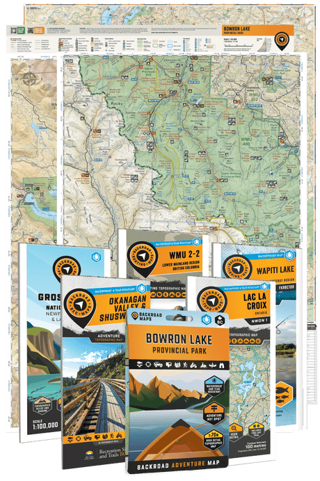


Find your next destination with our New Releases
View all-
 New Edition$999Unit price /Unavailable
 -

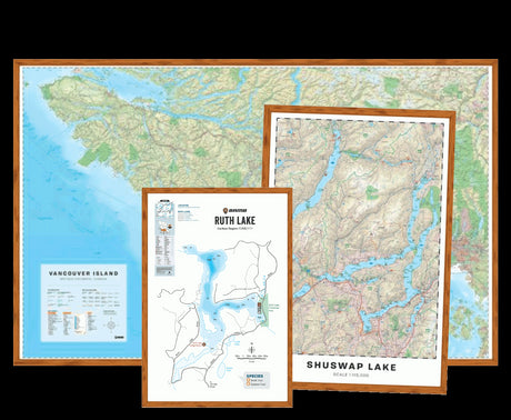
 Double-SidedNew Edition
 -
 Double-SidedNew Edition
 -

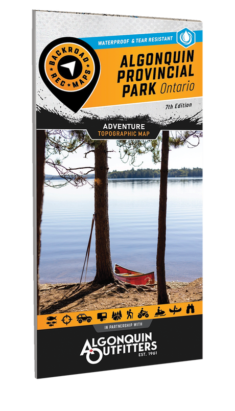
 New Edition
 -
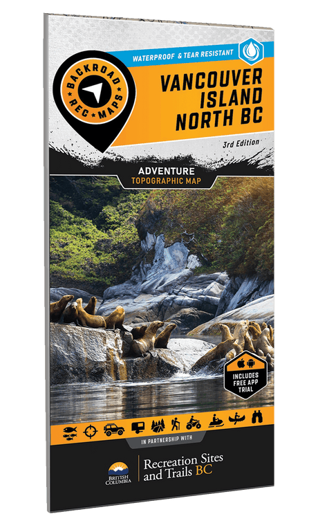
New Edition
-
New Edition


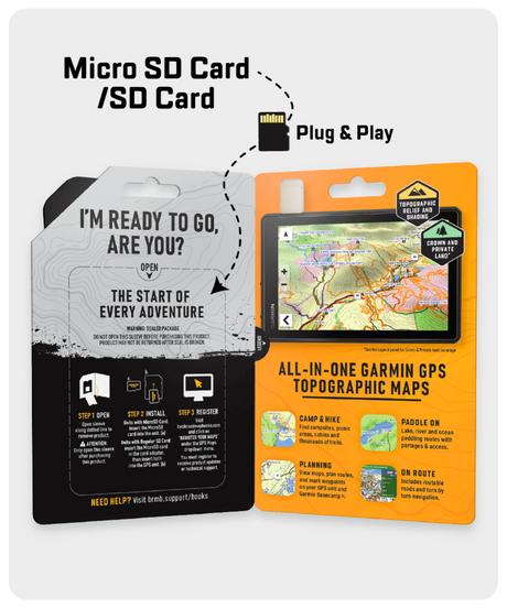
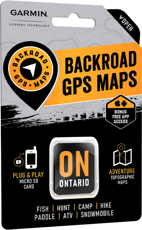
Choose Your Adventure


Explore the New Backroad GPS Maps
View all
Discover new roads, trails, and hidden gems with our comprehensive update, designed exclusively for Garmin GPS units.
Already own a Backroad GPS Map title? You can update your maps at a discounted rate!
-

 Version 2025
 -
Version 2025
-
Version 2025
-
Version 2025